
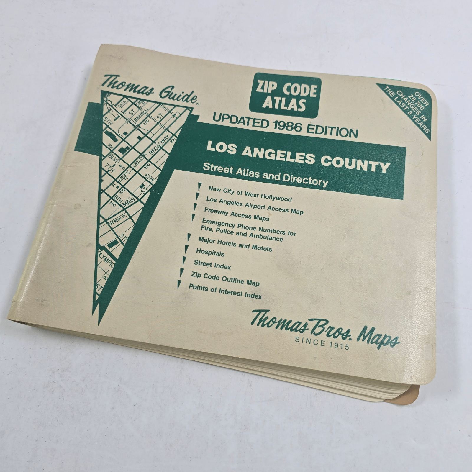



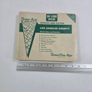
Thomas Guide 1986 Los Angeles County ZIP Code Street Atlas & Directory Maps Book
Used
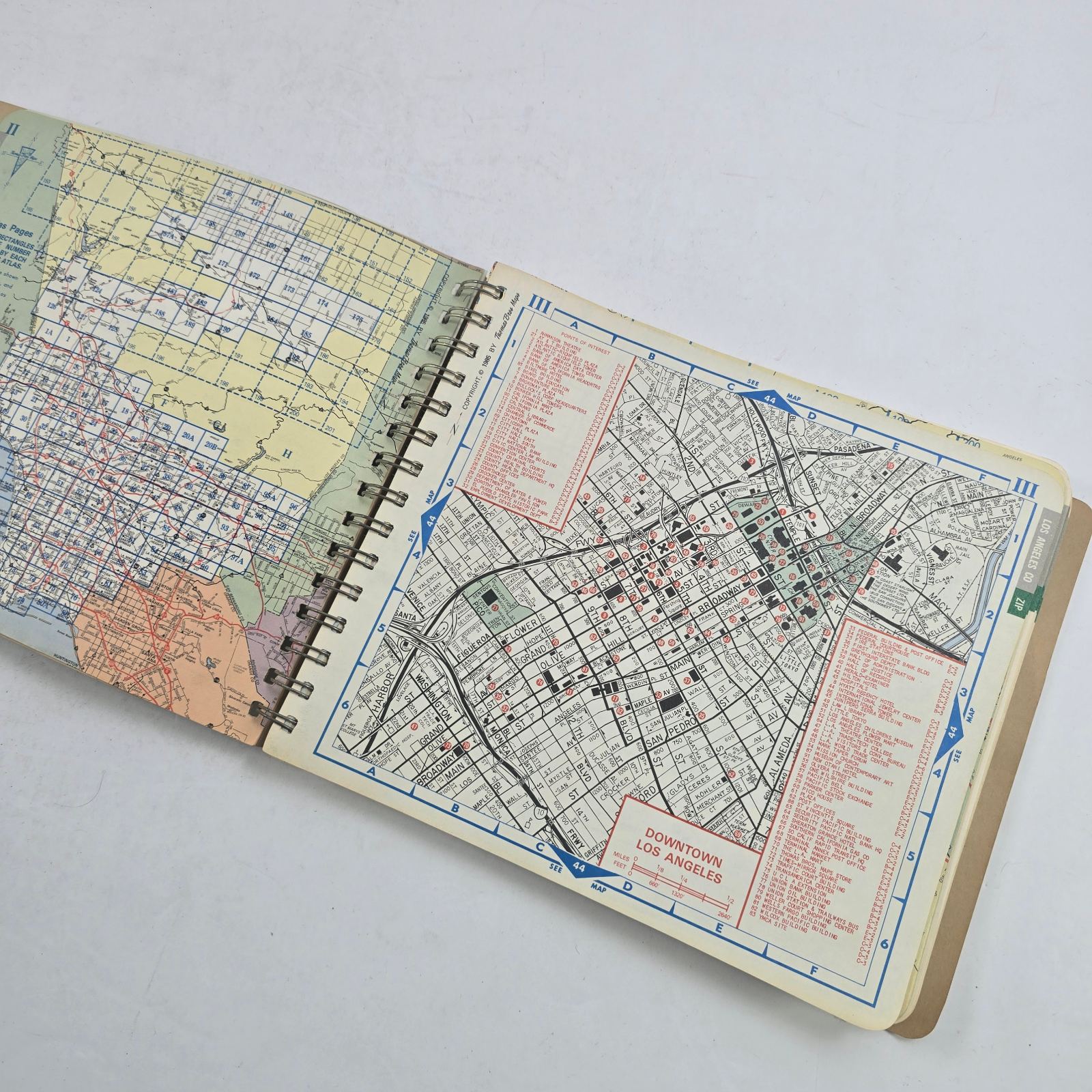
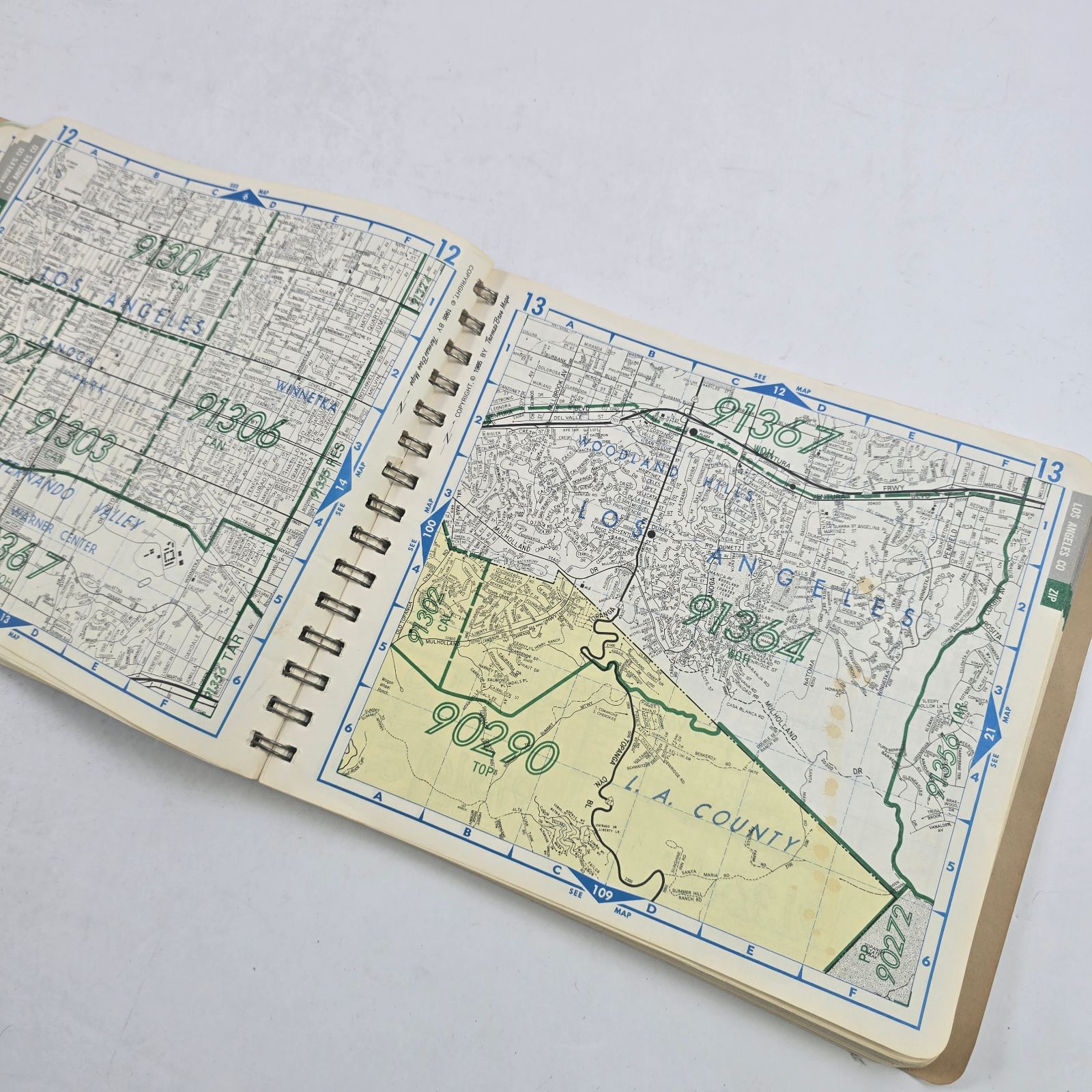
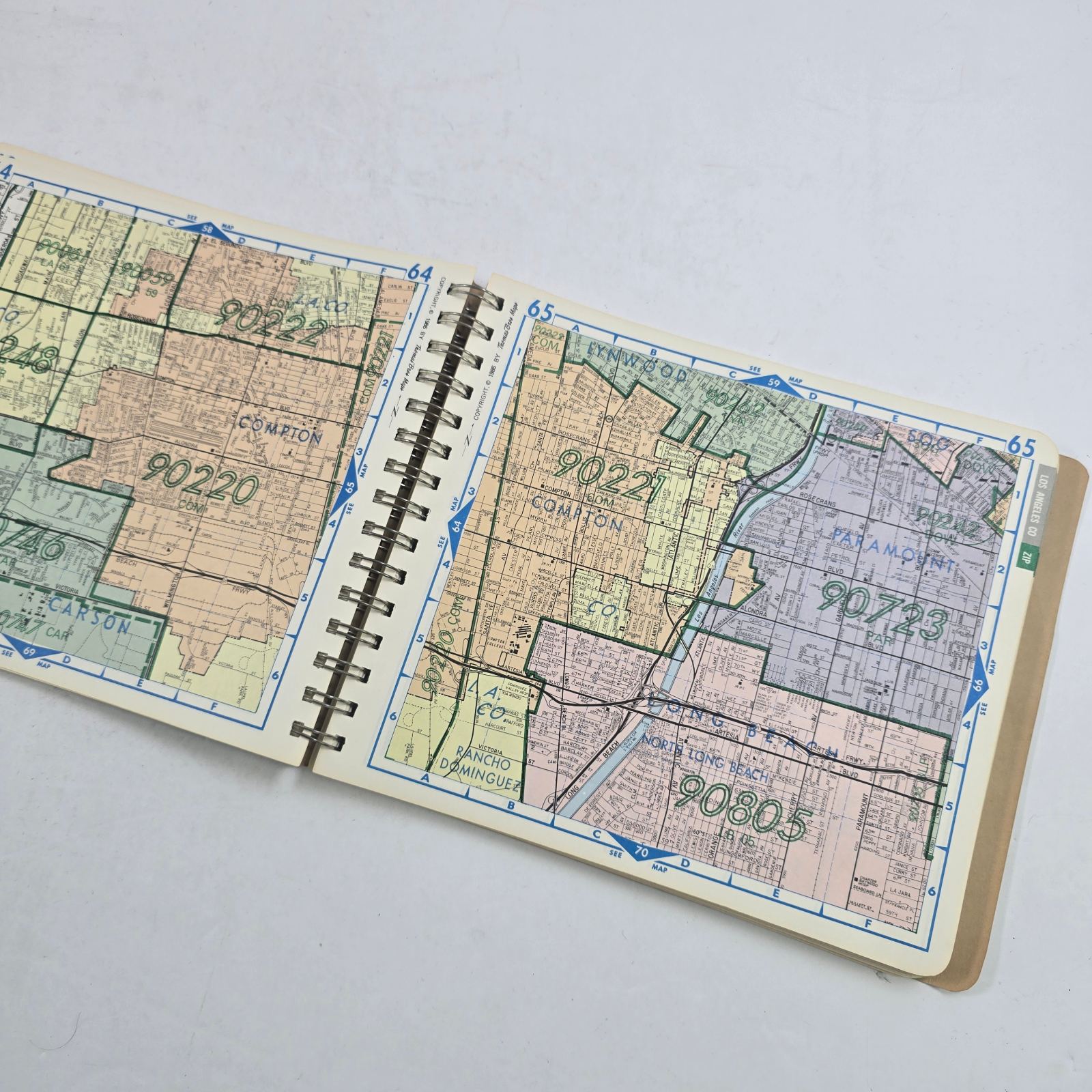
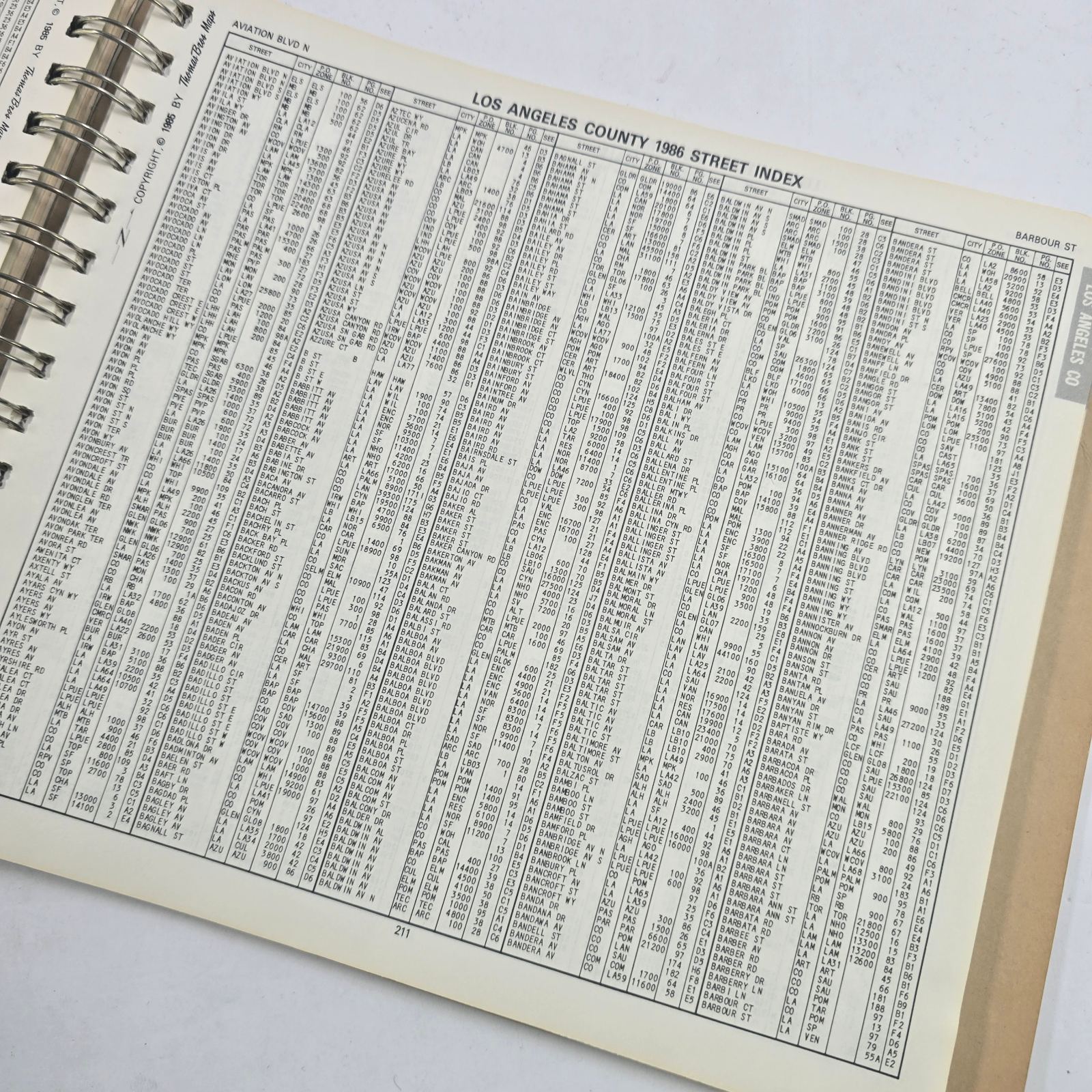
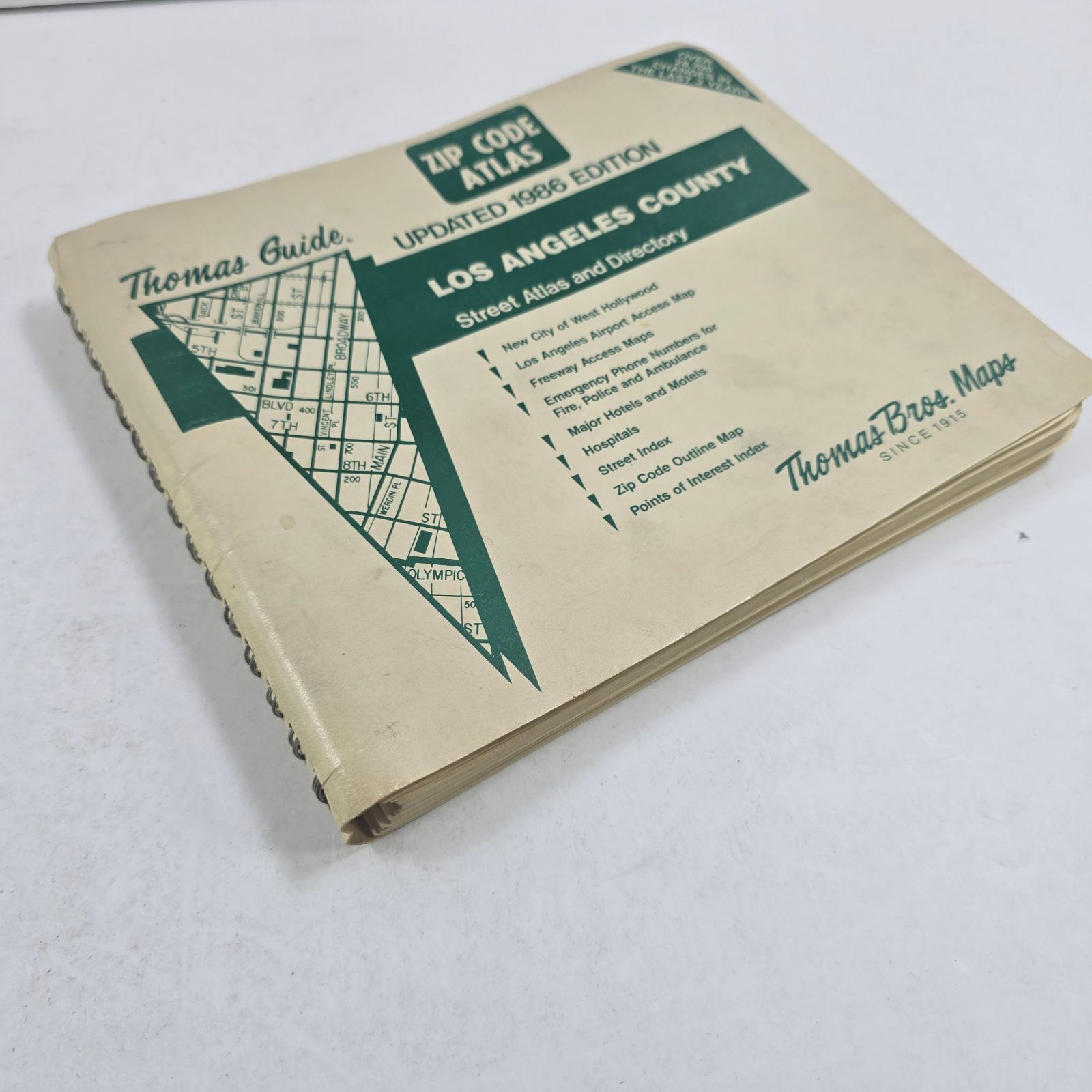
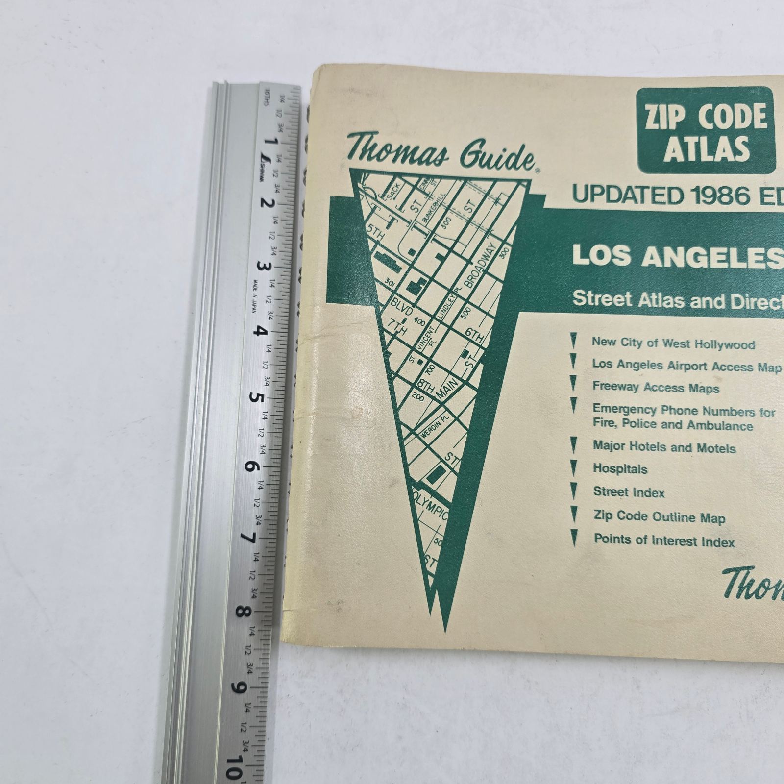
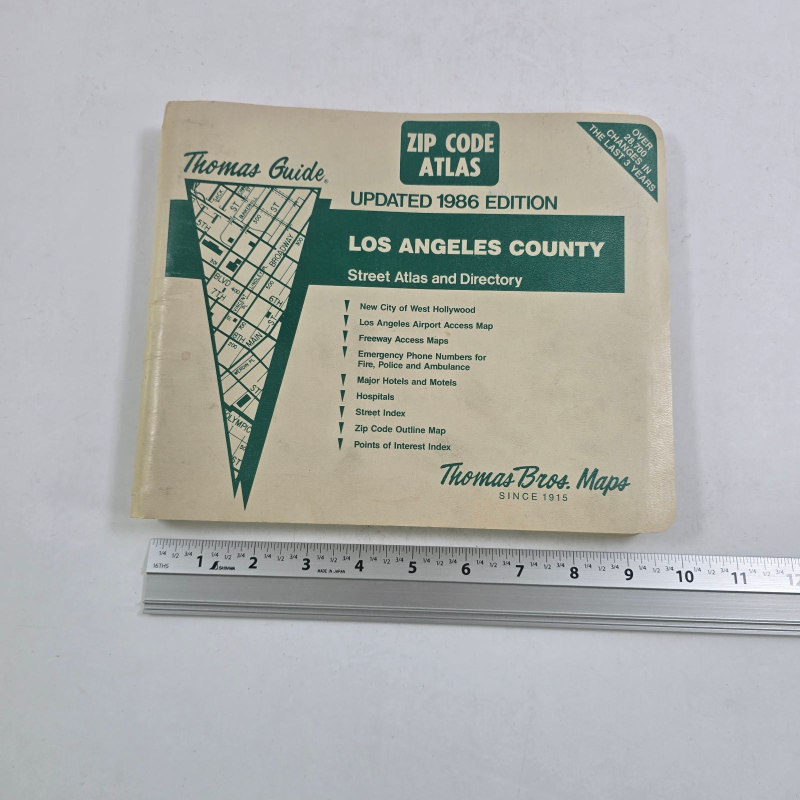
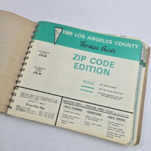
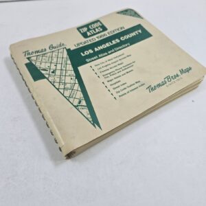
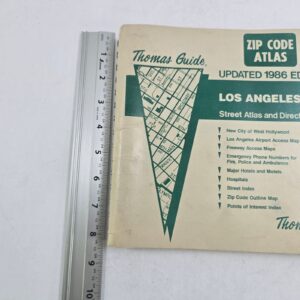
Thomas Guide ZIP Code Atlas Updated 1986 Edition Los Angeles County Street Atlas and Directory
Thomas Guide ZIP Code Atlas for Los Angeles County, Updated 1986 Edition, published by Thomas Bros. Maps.
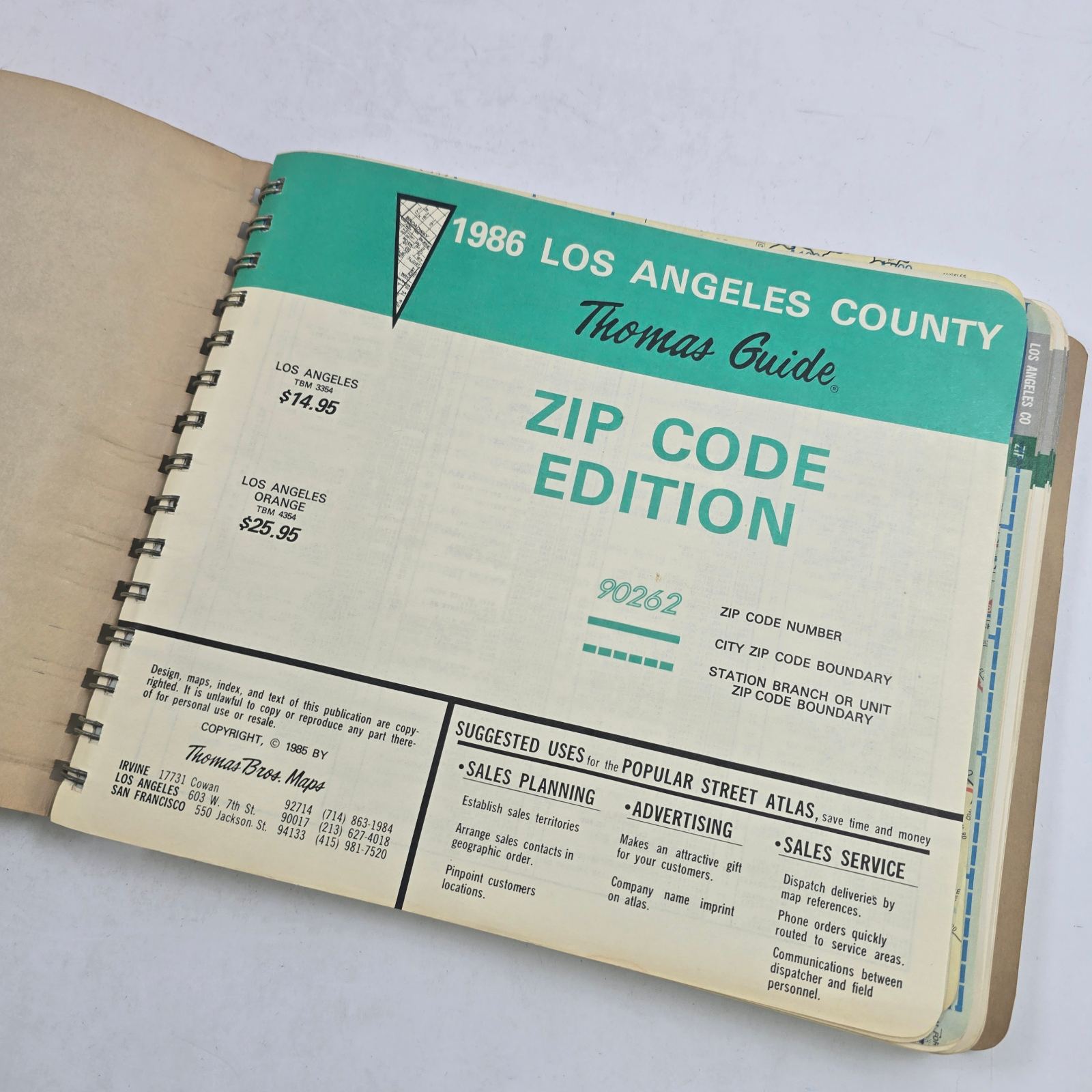
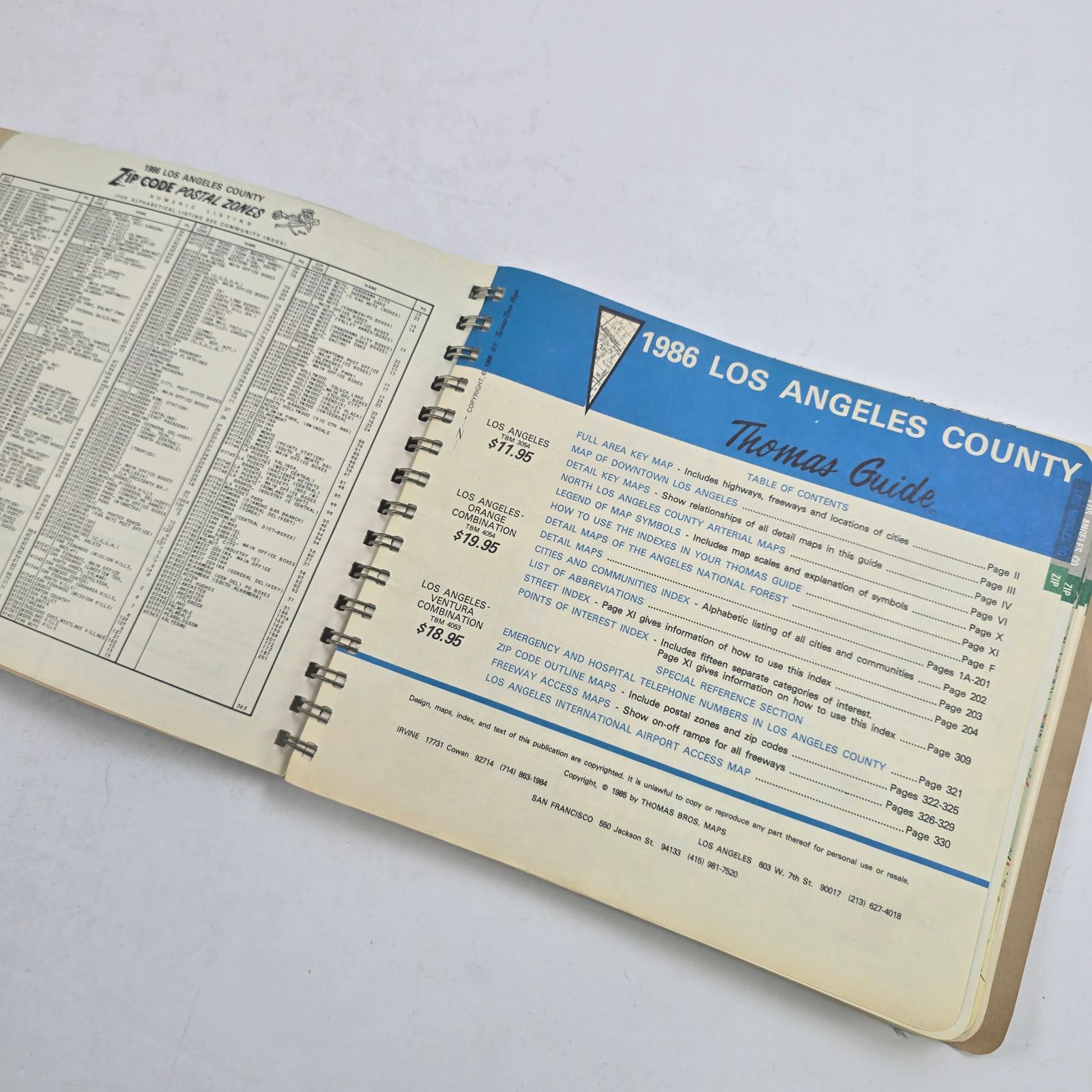
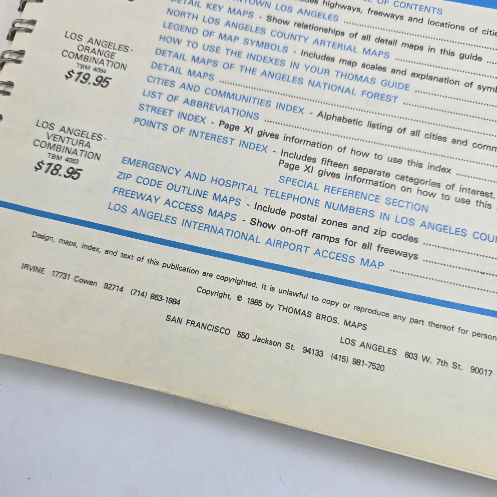
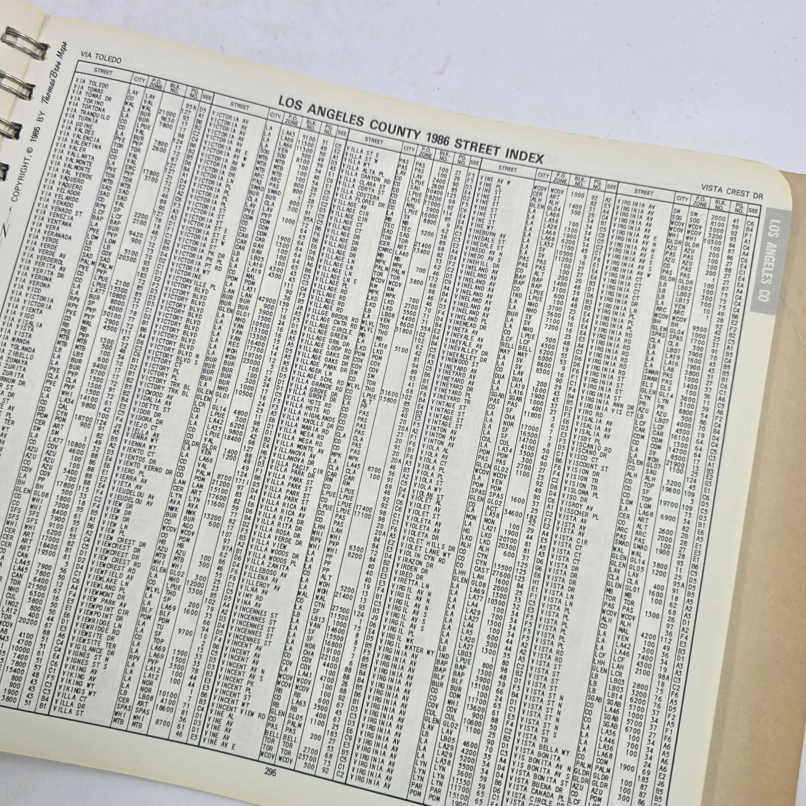
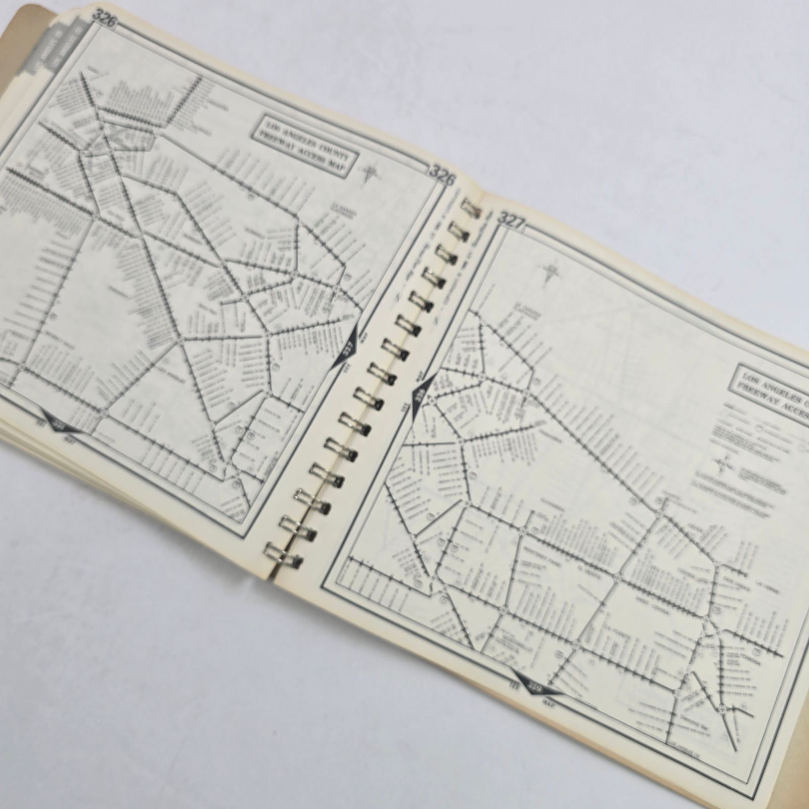
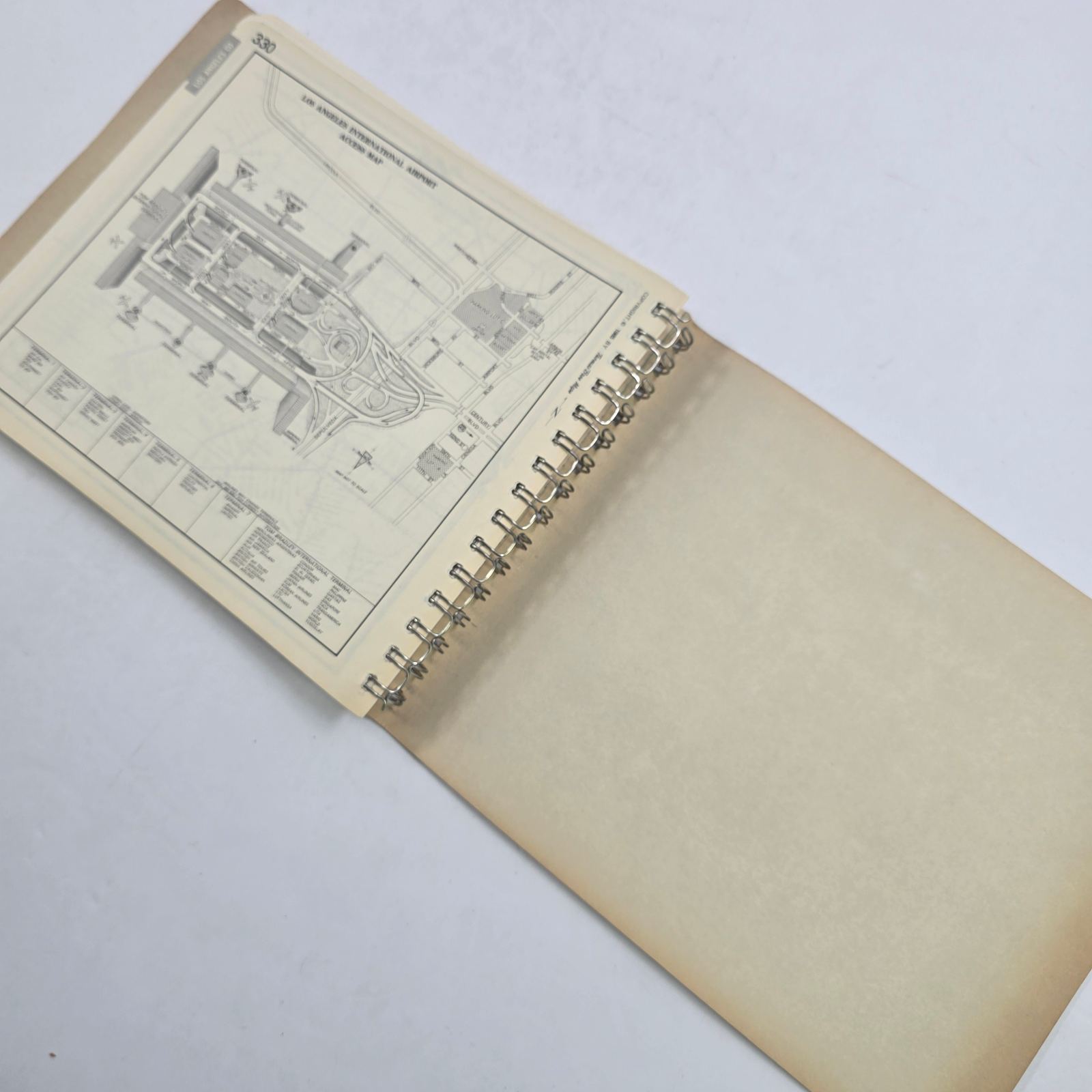
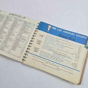
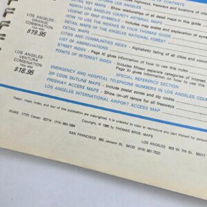
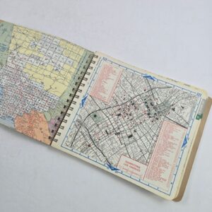
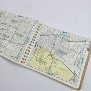
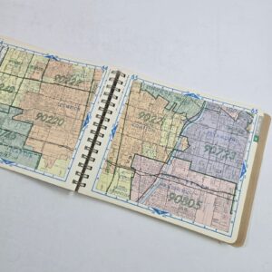
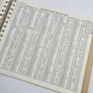
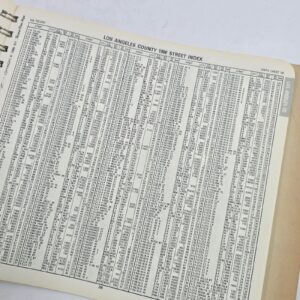
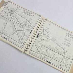
Explore the county’s mid-1980s street network with ZIP Code boundaries printed over detailed maps and an alphabetical street index. Photographed sections include downtown Los Angeles, freeway access maps and the LAX terminal/access layout—a useful period reference for local-history research or a vintage map collection.
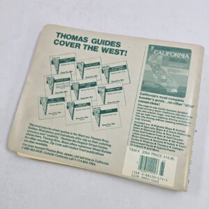
Wire-bound softcover. Please review photos for condition.











Reviews
There are no reviews yet.